The Lythix UAV team brings together multiple tools to offer complete infrastructure evaluations for our customers. This process allows our team to collect data for facilities, substations, distribution lines, and transmission lines in the Oil & Gas and Utilities industries.
Infrastructure Evaluation Process Includes:
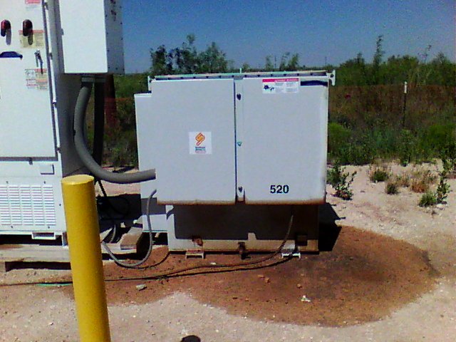
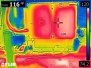
- Acquisition of aerial photography and thermal imagery for inspections
- Orthometric Mapping creates up to date geolocated maps with imagery that can be used for planning construction, tracking progress, PME mapping, modeling, inspection, and post-construction accuracy verification
- LIDAR 3D modeling for accurate measurement capabilities in GIS and CAD software
Our UAV Services Team consistently helps our customers complete jobs on time and more efficiently than traditional techniques from the ground. Ready to learn more? Visit our UAV Services page and contact our team today at (432) 217-5603 or info@lythix.com.
Share:
Share on facebook
Share on twitter
Share on linkedin